Introduction: The Urban Jungle Faces Nature’s Fury
As American cities grow denser and more complex, they also become more vulnerable. Whether it’s wildfires scorching California, hurricanes flooding the Gulf Coast, or earthquakes shaking the West, urban planning plays a pivotal role in reducing the damage caused by natural disasters. This article dives deep into how smart city design, infrastructure, and policies can protect urban communities across the United States.
What Is Urban Planning in the Context of Disasters?
Urban planning involves designing and regulating land use, infrastructure, and building codes to create safe, functional, and sustainable cities. In the context of disasters, this means:
- Locating infrastructure away from high-risk areas
- Implementing building standards for earthquakes, floods, and fires
- Ensuring emergency access and evacuation routes
- Zoning policies that reduce population density in hazard-prone regions
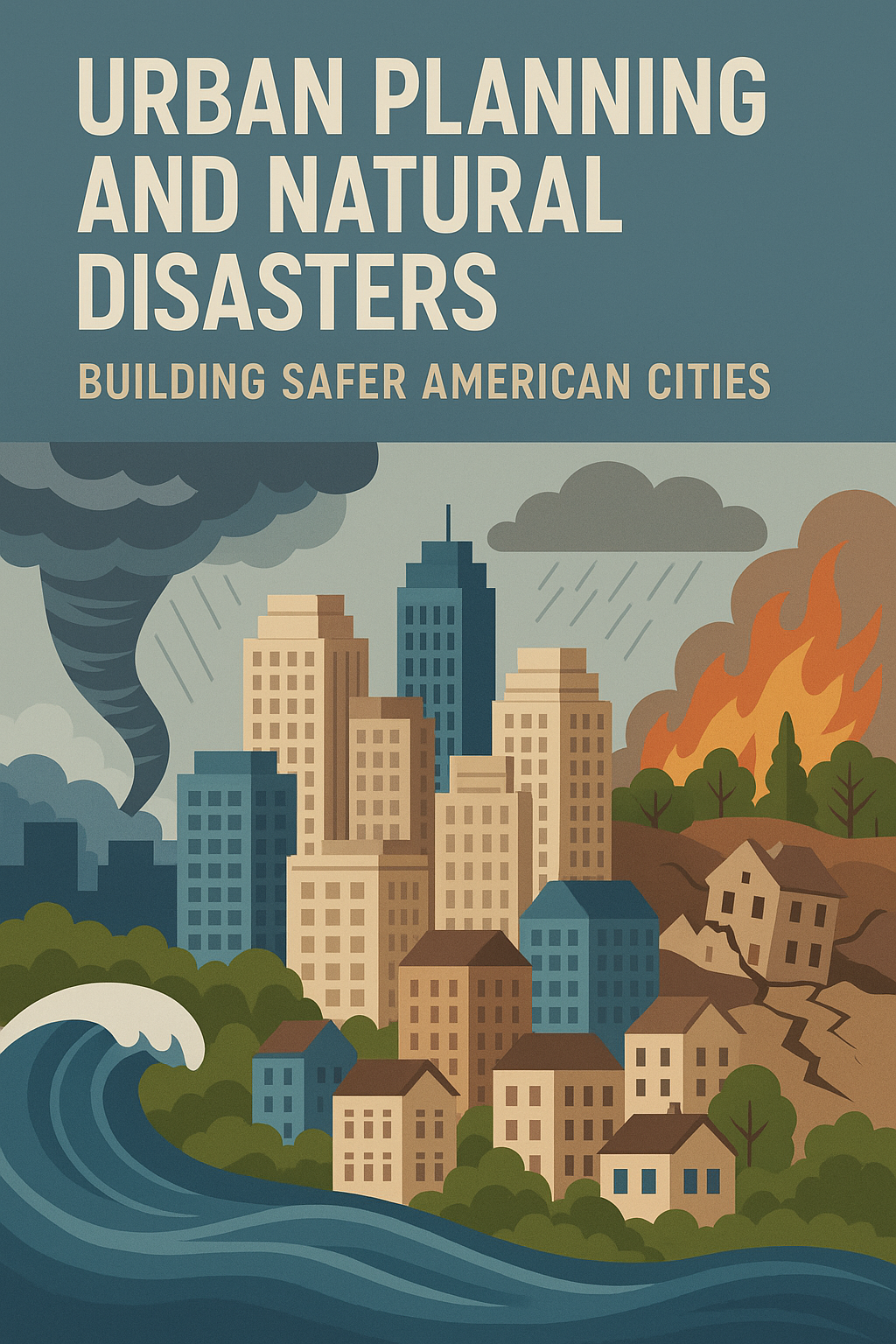
Natural Disasters in the U.S.: A Snapshot
| Disaster Type | Most Affected States | Annual Cost (2023) | Fatalities (Est.) |
|---|---|---|---|
| Hurricanes | Florida, Texas, Louisiana | $70 Billion | 120+ |
| Wildfires | California, Oregon, Colorado | $20 Billion | 90+ |
| Earthquakes | California, Alaska, Washington | $6 Billion | 10+ |
| Floods | Texas, Missouri, Kentucky | $10 Billion | 100+ |
| Tornadoes | Oklahoma, Kansas, Alabama | $8 Billion | 75+ |
“Failing to plan is planning to fail—especially in disaster-prone areas.” — Craig Fugate, former FEMA Administrator
Urban Planning Strategies That Save Lives
1. Zoning Laws and Risk Mapping
Zoning determines what can be built and where. Cities like Miami and New Orleans are increasingly using flood risk mapping to prohibit development in low-lying coastal zones.
- Use of FEMA Flood Maps
- Enforcement of setback lines from coastlines and rivers
2. Disaster-Resilient Building Codes
Modern building codes require that new construction is better able to withstand hazards:
- Earthquake-resilient structures in California
- Wind-resistant windows in Florida
- Fire-resistant materials in western states
3. Green Infrastructure
Cities like Portland and Philadelphia are turning to green solutions:
- Rain gardens and permeable pavements to absorb floodwater
- Urban forests to reduce heat islands and wildfire risk
“We must think beyond concrete. Nature is a critical piece of our disaster strategy.” — Kathryn Garcia, NY State Director of State Operations
Case Studies: Urban Planning in Action
New York City — Hurricane Sandy (2012)
After $19 billion in damages, NYC launched its “Resilient Neighborhoods” initiative, which includes:
- Elevated waterfront parks
- Flood-resistant buildings
- Improved drainage systems
Paradise, California — Camp Fire (2018)
After losing 90% of its buildings, Paradise rebuilt using:
- Wider evacuation roads
- Underground power lines
- Fire-resistant zoning laws
Challenges in Urban Planning for Disasters
| Challenge | Explanation |
|---|---|
| Aging Infrastructure | Many cities still use 1950s-era sewer and power lines |
| Lack of Funding | Smaller municipalities struggle to invest in resilience |
| Political and Public Resistance | New zoning laws often face legal and local opposition |
| Climate Change Unpredictability | Hard to plan for disasters that keep evolving |
The Role of Federal and State Agencies
FEMA (Federal Emergency Management Agency)
- Provides hazard maps
- Funds post-disaster rebuilding and pre-disaster mitigation
HUD (Housing and Urban Development)
- Supports urban resilience through grant programs
State-level Urban Planning Departments
- Enforce land use, building codes, and zoning
“Every dollar spent on disaster mitigation saves six in recovery.” — National Institute of Building Sciences
Urban Planning Trends in 2025 and Beyond
- 📡 Smart Sensors: For early flood/fire detection
- 🌱 Sponge Cities: Inspired by China, using parks and wetlands for flood absorption
- 🏘️ Community-Based Planning: Involving residents in preparedness
Summary Table: Urban Planning Tools for Disaster Mitigation
| Tool/Strategy | Impact |
|---|---|
| Floodplain Zoning | Reduces property damage in high-risk zones |
| Earthquake-Resilient Codes | Saves lives during seismic events |
| Green Roofs & Parks | Absorbs rainwater, reduces urban flooding |
| Fire Buffer Zones | Slows down wildfire spread |
| Smart Infrastructure | Enables real-time disaster response |
Conclusion: A Blueprint for Safer Cities
Natural disasters are inevitable—but mass casualties, property loss, and chaos are not. Smart urban planning is America’s front line in fighting climate change, extreme weather, and geological risks. Cities must plan not just for growth—but for survival.
“Disasters are not natural. They’re the result of poor planning.” — UNDRR